Day 42: Halfway to Baker City, OR
56 miles, 3954 ascent / 3169 descent, 5:35 saddle time, elevations: start 2645, min 2164, max 3925, finish 3437.
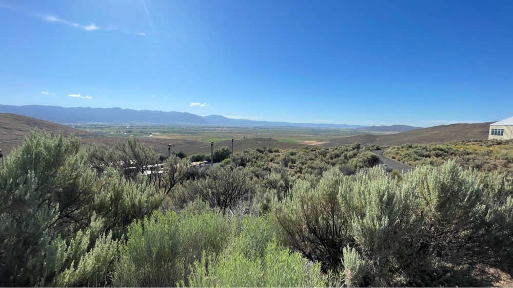
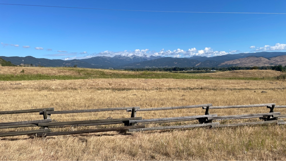 |
| Pine Valley heading south from Halfway |
Today we ate breakfast at the Pine Valley Lodge before heading south on our way to Richland. Every ridge or mountain range we ride over opens onto a large valley with another mountain range in the distance (that we will also cross over). The route started with a climb of 1066 ft in 4.5 miles, followed by a descent that went on for miles :) into a lush valley and the town of Richland (appropriately named). Two pretty big creeks ran through the valley and fed into the Brownlee reservoir. It is interesting that although much of the surrounding area is classified high desert, there were no obvious signs of water shortages. I haven’t seen significant signs of water shortage since leaving Colorado. In fact, many of the valleys in Wyoming, Montana and Oregon have large rolling or circle irrigation systems.
Many of the towns have western themed sculptures. I saw this one in Richland.
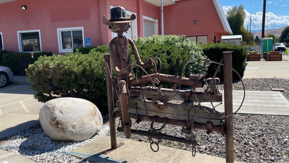 |
| Cowboy sculpture in Richland |
After passing through Richland we started climbing up through the Powder River canyon.
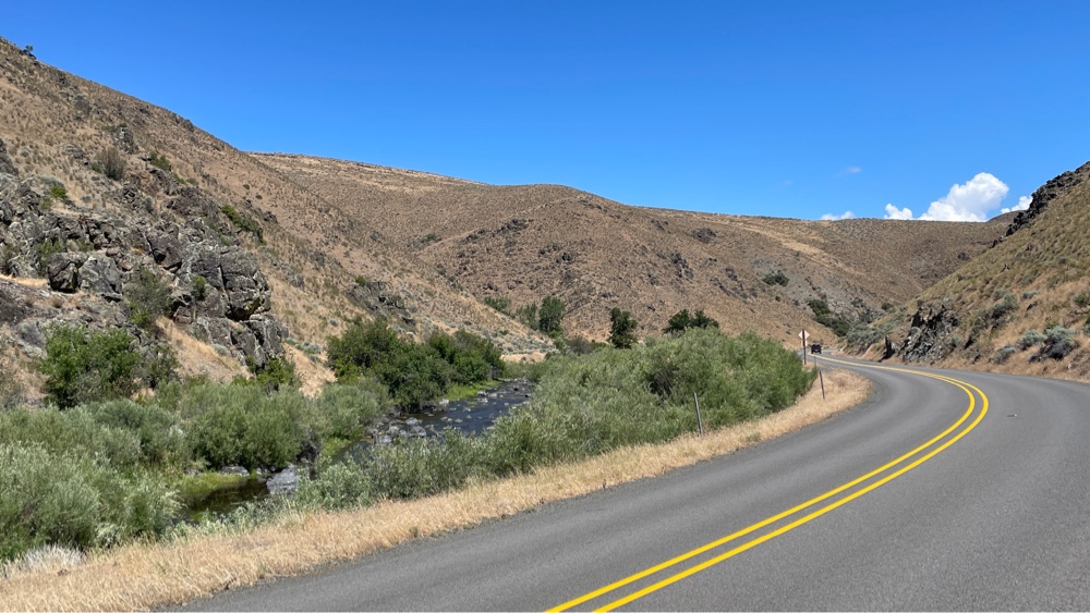 |
| Powder River Canyon |
I was having some trouble with shifting on the rear derailleur since riding through the rain and was unsuccessful at correcting it in spite of cleaning and lubricating it. Today the problem got steadily worse. I could not get it to stay in gear. It would seem OK for awhile, and then it would jump to the next higher gear, and then jump back. I tried everything I could think of to adjust it, but to no avail. After the canyon I was riding up a long incline when I felt and heard a thunk-thunk that repeated at a regular interval. I realized the interval was one revolution of the chain. I stopped to check it out and found this…
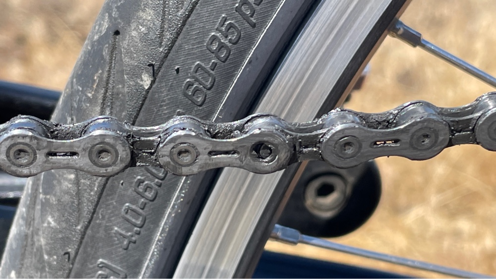 |
| Chain failure |
 |
| View from interpretive center |
Our destination today was a WarmShowers host in Baker City, which at about 10,00 people, is one of the larger towns we have stayed in. We are taking a rest day tomorrow before we face our hardest day (more about that later), and there is a bike shop in town, so my priority tomorrow will be to get my chain replaced.
Comments
Post a Comment