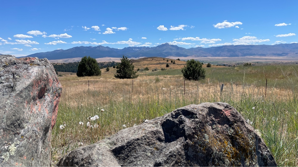
Day 53: Rest day in Astoria
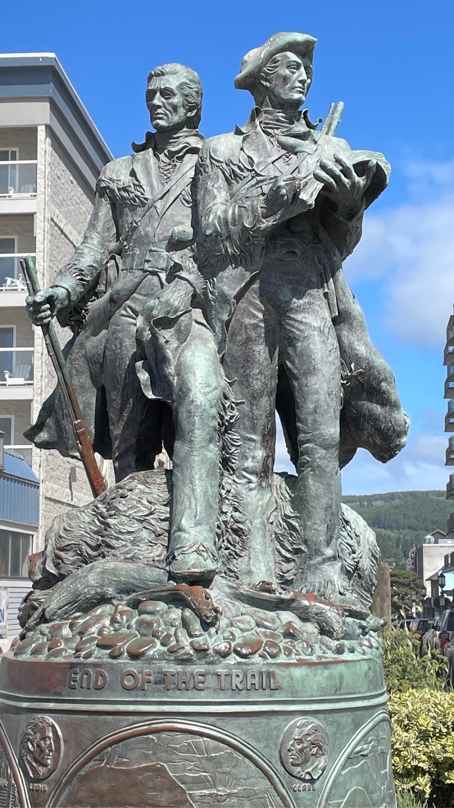
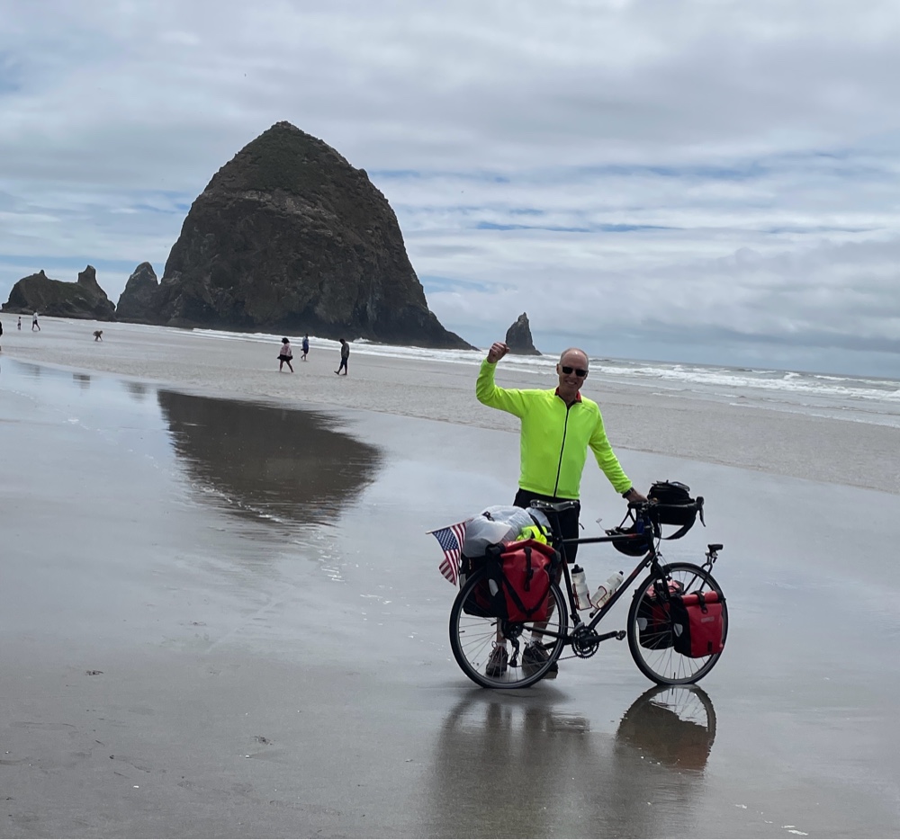
Lewis & Clark statue in Seaside Beach Breakfast today consisted of two eggs, two pieces of toast and a cinnamon bun. Many meals have been about twice what I would normally eat, and I snack between meals. I typically have not had many options on what to eat. Kansas started out with lots of burgers and Mexican food. That transitioned into steaks and prime rib (Friday prime rib nights are popular out west). I will have to cut back on the number of eggs, the number of burgers, French fries, red meat and the amount of sugars I have been consuming when I get back. After breakfast I bought a book about Lewis & Clark for the flight back, washed my riding clothes at a laundromat, and restocked my food bag for the two days of riding ahead. For lunch we had a “don’t miss” recommendation for fish and chips at Bowpickers. It was basically a small boat made into a stationary “food truck”. I couldn’t bring myself to eat any more fries, so I had battered fried fish without the chips...