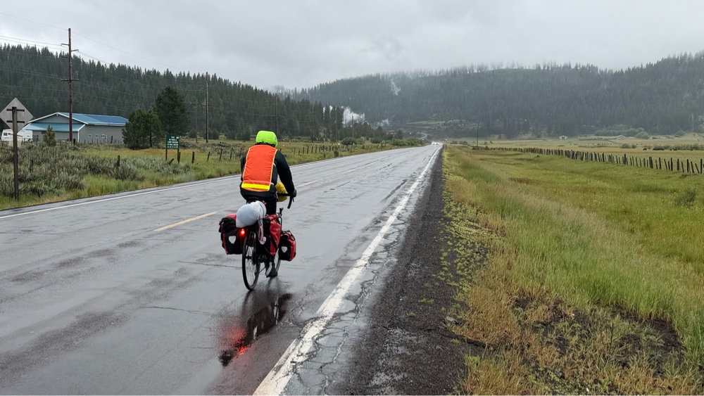
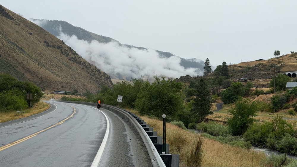
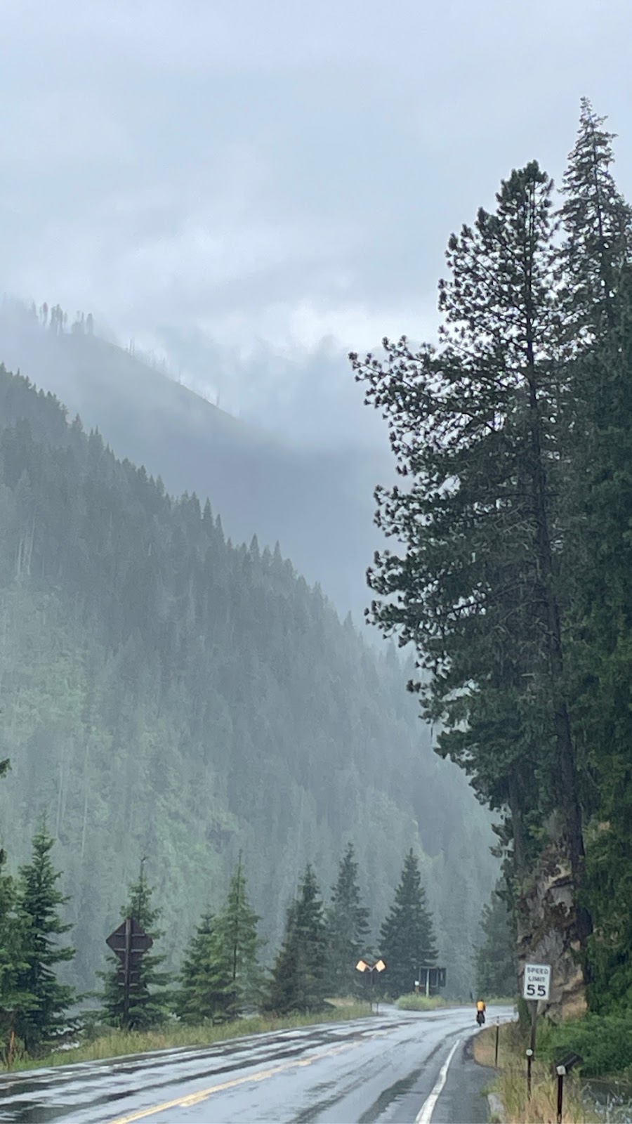
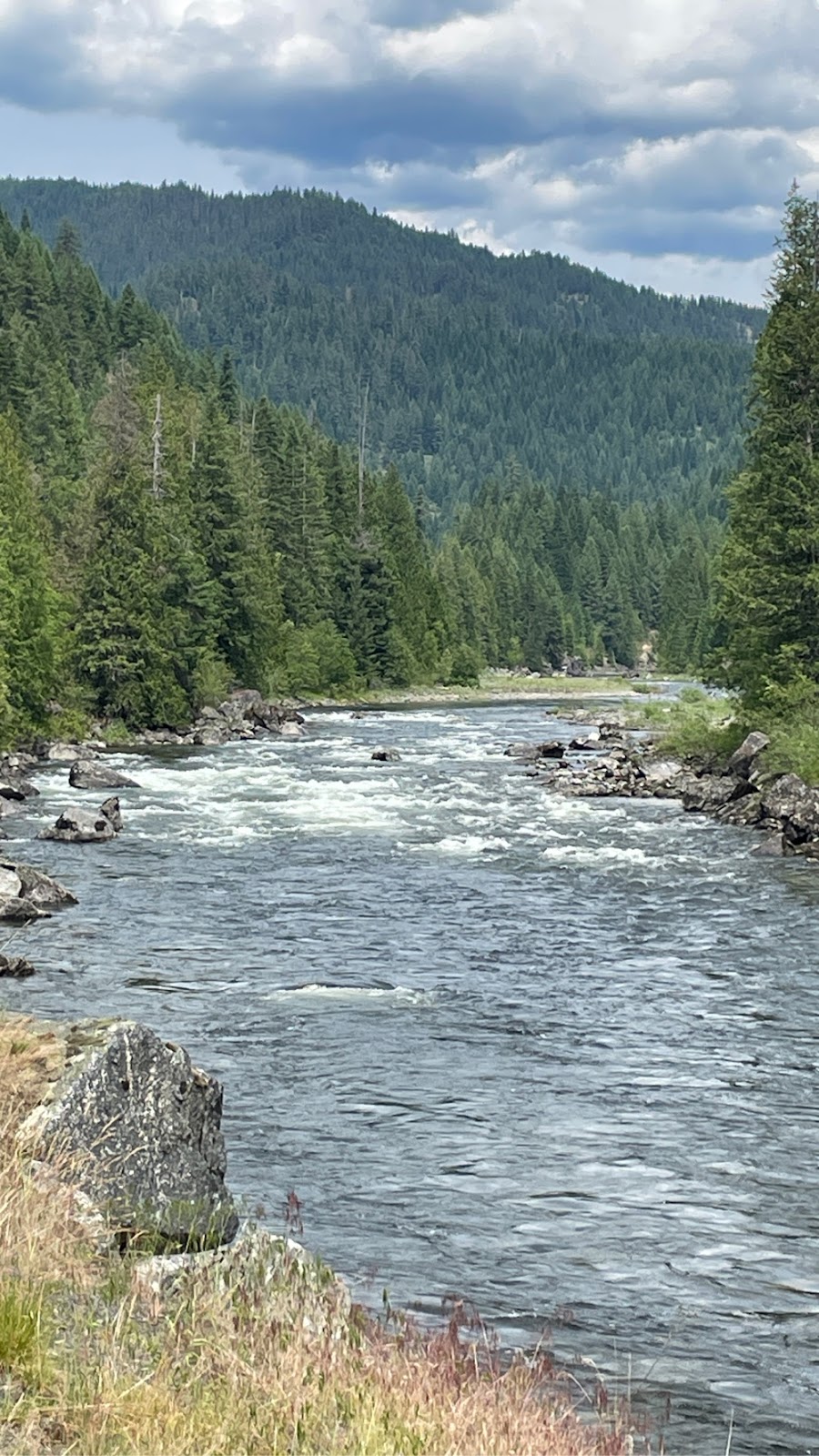
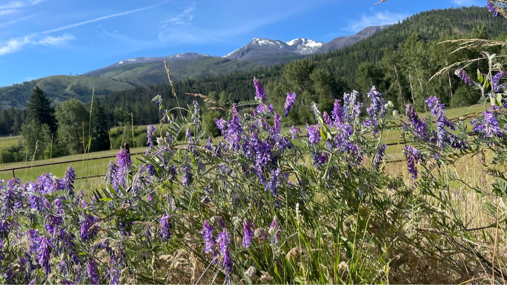
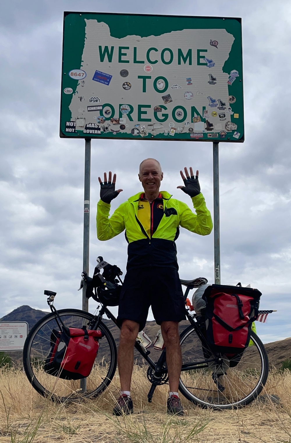
Day 41: Cambridge ID to Halfway OR
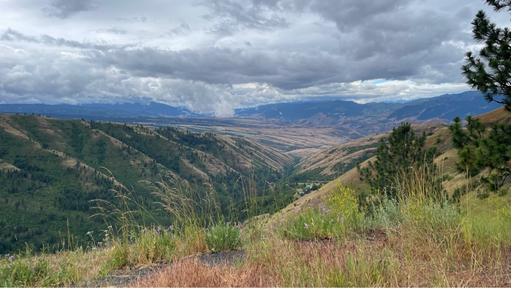
58 miles, 3386 ft ascent, 4:43 saddle time, elevations: start 2660, min 1744, max 4131, finish 2652. 10th and last state in TransAm journey Today I made pancakes, fried eggs and we had leftover steak for breakfast. I also made steak and egg muffins for lunch. We are eating well! The day started with a climb of about 1500 ft up over a pass. Pass is over the range in the distance On the other side I descended into Hells Canyon. The canyon was formed by the Snake River and gets its name from the surrounding mountain peaks, the Seven Devils. The latter comes from an Indian legend. Road down into the canyon I descended about 2000 ft in 7 miles! It seemed like I would never stop going down, deeper and deeper into the canyon. At the bottom the landscape was similar to what I had seen coming down from White Bird summit a few days back. The canyon walls were smooth and covered with brown grass and very few shrubs or trees. ...