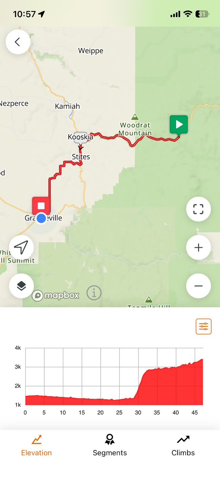
Day 37: Lowell to Grangeville ID
47 miles, 3172 ft ascent, 4:32 saddle time, Elevations: max 3406, min 1254 ft.
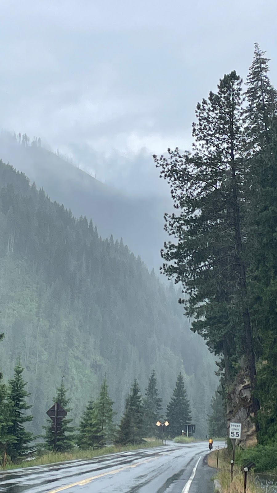 |
| Heading out of Lowell in the rain |
We started the day riding in a light rain, and it rained all day long. The first 25 miles we followed Hwy 12 along the Middle Fork Clearwater River downstream to Kooskia, and then turned and started following the South Fork Clearwater river upstream. As we approached Kooskia the scenery changed from tree covered to bare fingers of mountains coming down to the river.
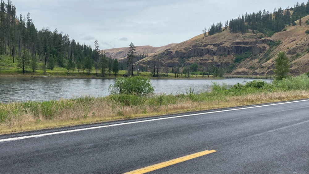 |
| Fingers of mountains near Kooskia |
We had been on Hwy 12 since Missoula. After about 5 miles we came to the town of Stites, at which point we left Hwy 12 and started uphill to a plateau. I approached this climb with trepidation because eastbound TransAm cyclists had told us it was STEEP, and they were not kidding. I climbed 1492 ft in 3.8 miles with a maximum grade of 12%.
 |
| Looking back down one of the 12% sections |
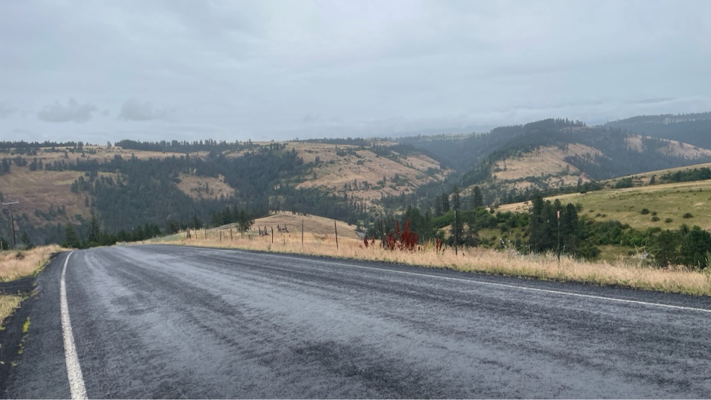
The steep sections were long, so I had to stop at the top of each to catch my breath. It was exhausting! Finally I reached the top and onto the plateau, and it was like another world. How could it be so different than what we had just left?
 |
| View as I first ascended to the plateau |
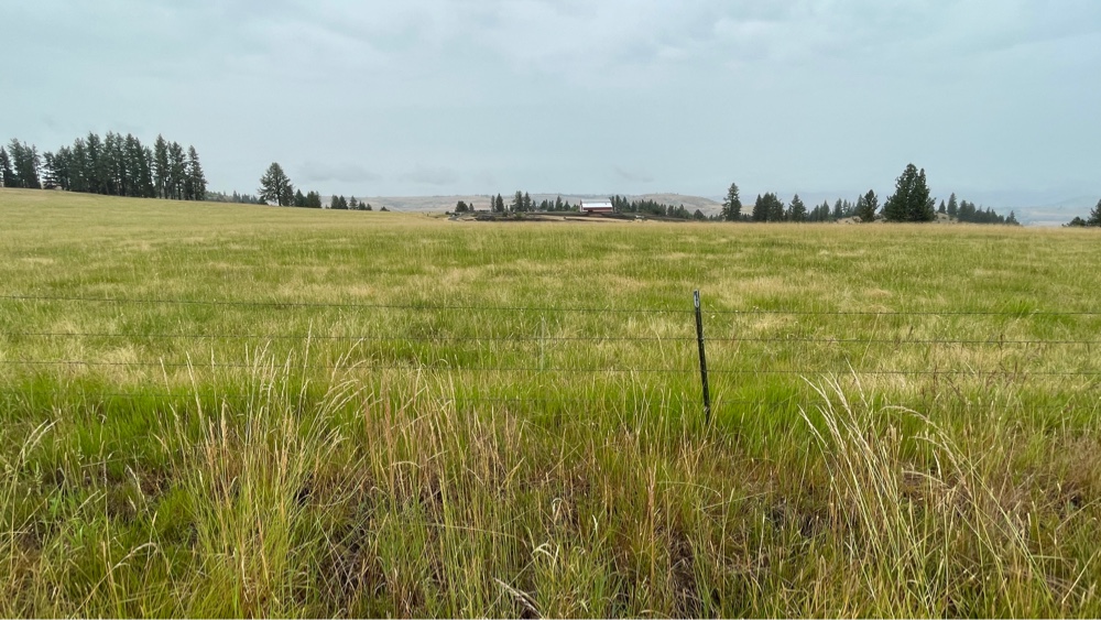
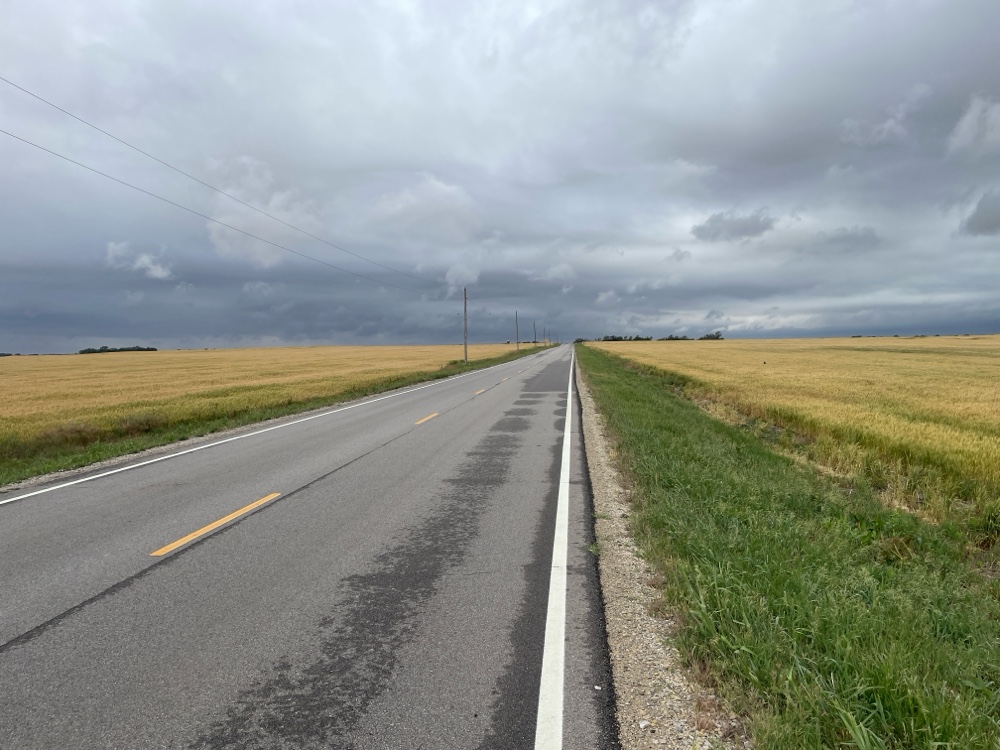
There were wheat fields as far as I could see. They stretched to the horizon on all sides.
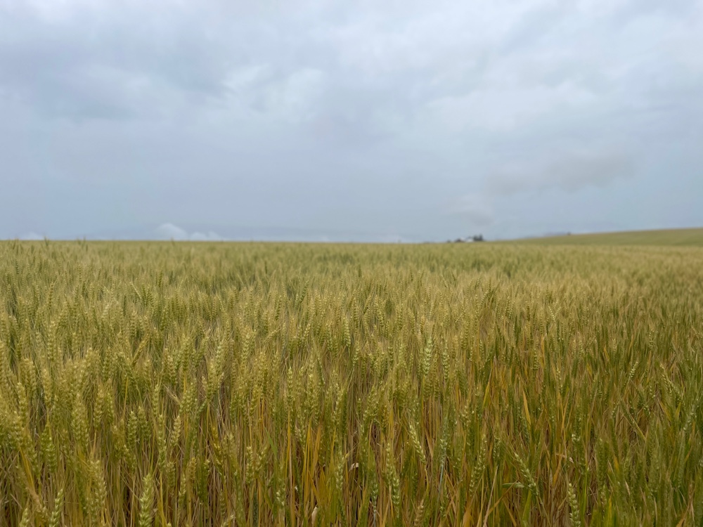 |
| Wheat fields to the horizon |
Visibility was limited by the rain, fog and clouds. I can only imagine how beautiful this area would be on a clear sunny day.
We finished our ride today in Grangeville, which is where the plateau transitions into the mountains. Brian and I came across this early 1900’s restored steam powered traction engine (tractor) while walking to dinner.
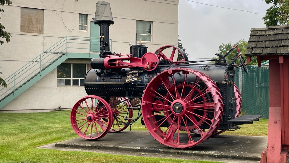 |
| Early 1900’s steam powered traction engine |
These were in use until they were made obsolete by internal combustion engines in the 1950’s.
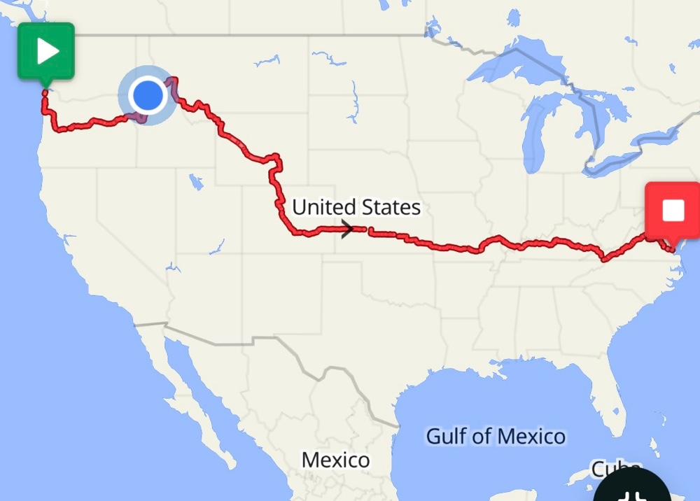
For my grandkids, this is where I am now.
 |
Today’s ride (note the profile)
 |
Comments
Post a Comment