52.4 miles, 2451 ft ascent, max grade 15%, riding time 4:27, elevation 5332 ft.
Today we had breakfast at the hotel and then deviated from the TransAm route so that we could ride on a bike path along the Arkansas river for 9 miles.
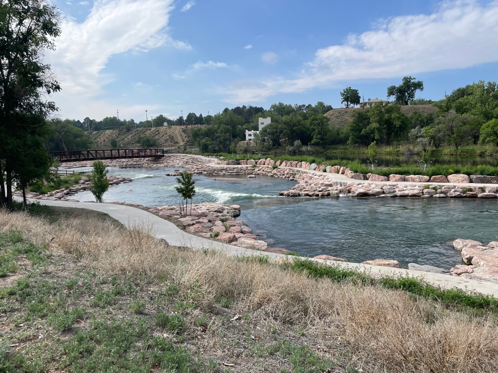 |
| Hardscaping and falls along path |
The landscape changed dramatically as we rode though the river valley and up onto the high plains. Rock buttes lined the sides of the river valley.
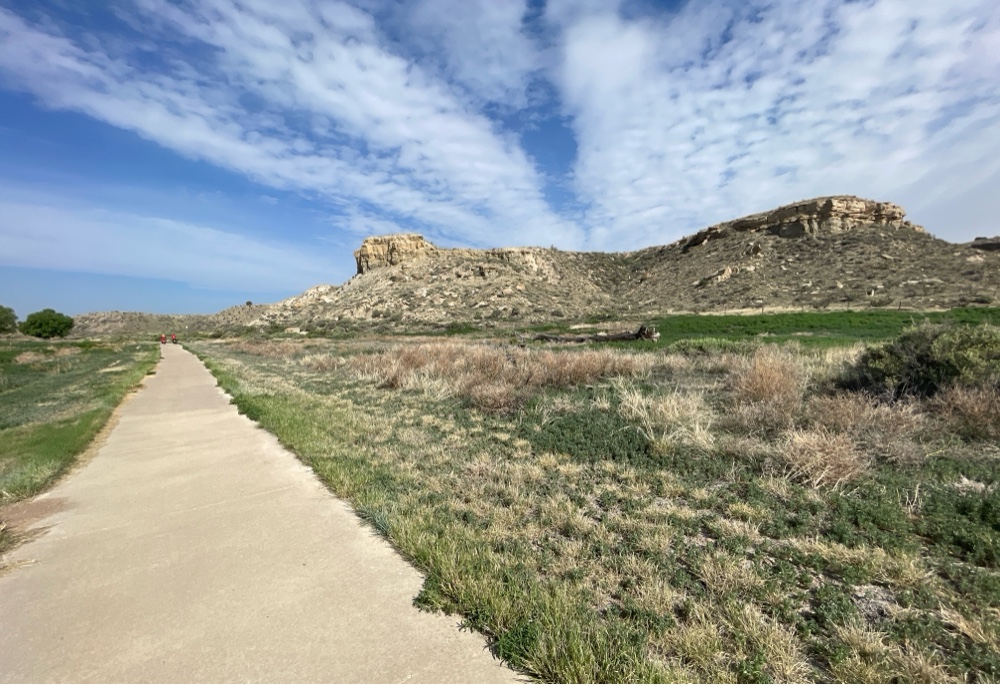 |
| View from down in Arkansas river valley |
It was nice riding without cars or traffic. After climbing up to above the reservoir we re-joined Rt 96 and headed west toward the Rockies.
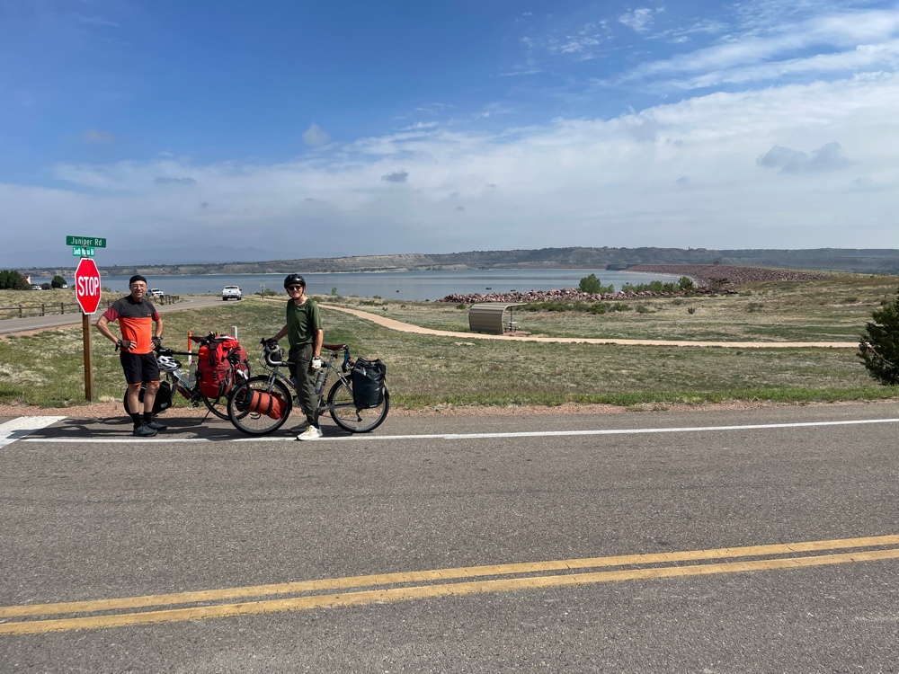 |
| View from above reservoir |
We reached the top of a hill and got our first view of the Rockies. Today I rose above an elevation of 5280 ft, so I was a mile high. My maximum elevation for the day was 6115 ft.
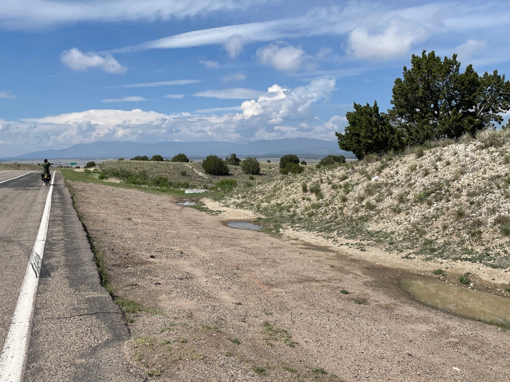
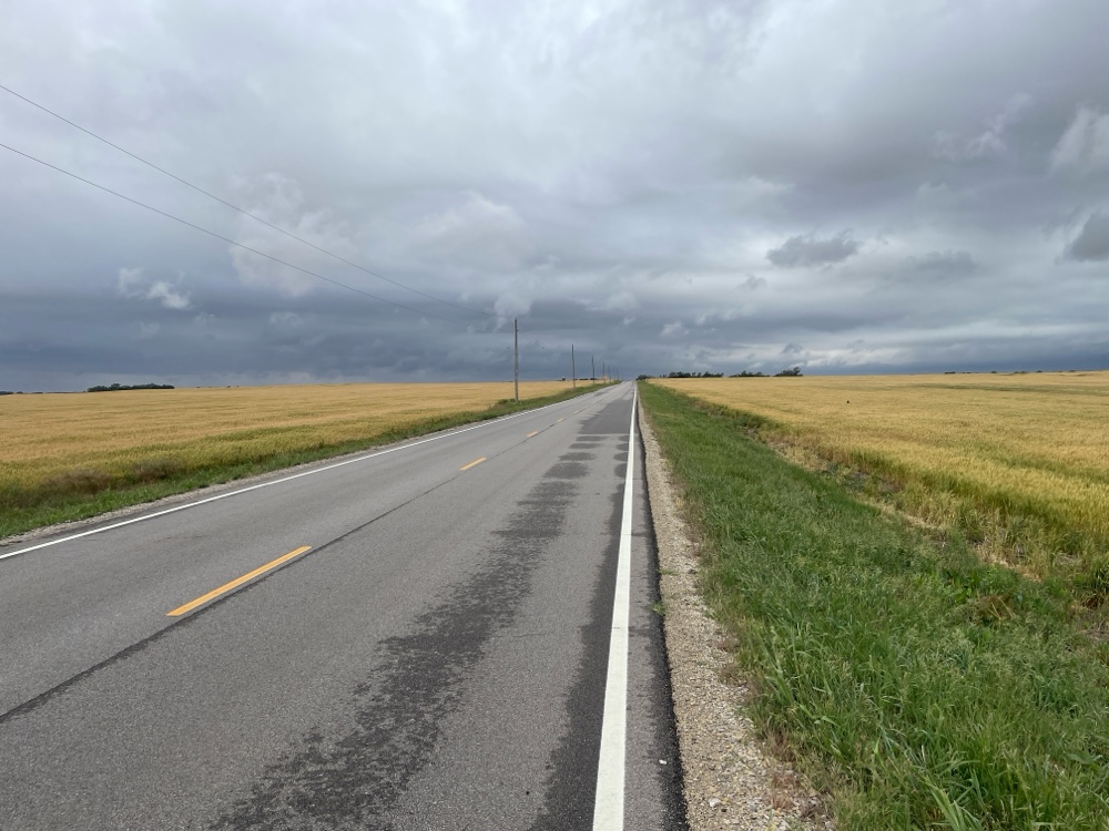
We had to ride across the high plains before reaching the foothills. As we were riding, a thunderstorm was developing south of us and heading right for us.
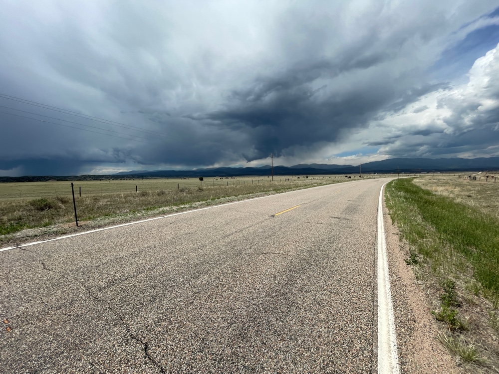 |
| Thunderstorm brewing |
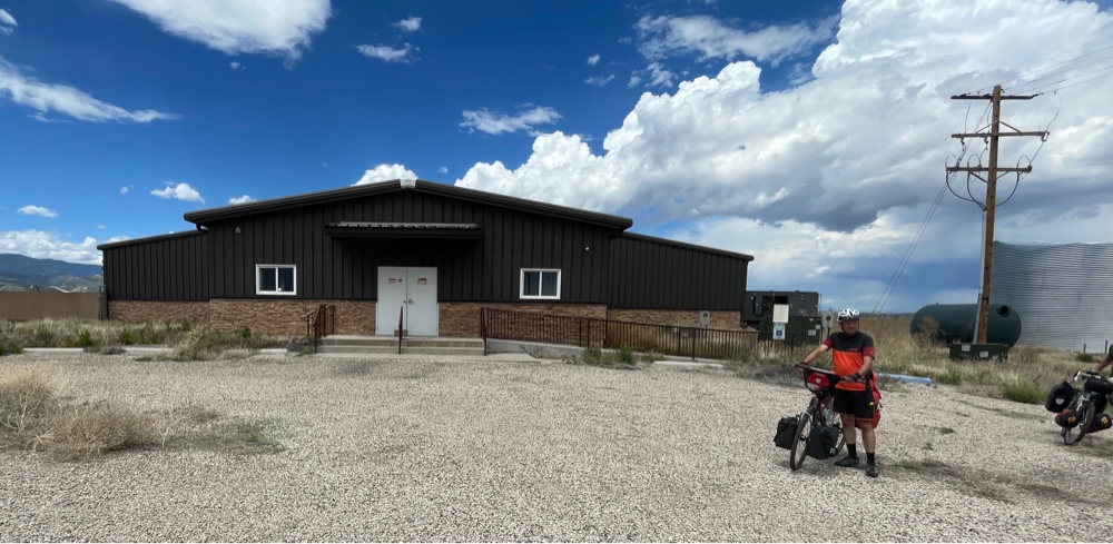
We were debating what to do, but then a couple lightning bolts came streaking out of the sky. We rode to the closest structure we could find for cover.
I knocked on the door but there was no answer. I tried the door and it was unlocked. Inside was a mess! It was an abandoned marijuana farm! I have passed too many failed businesses to count in the last 9 days :( Once the storm passed over we continued west toward a the town of Whetmore CO and encountered a short but very steep section (15.9%) where I had to use my lowest gear. It is difficult to keep a loaded touring bike moving in a straight line when you are only moving 3 mph! In Whetmore we had to say farewell to Johannes as he is taking a different route to his final destination in San Francisco. It was really a pleasure riding with him, and difficult to say goodbye. I also finally turned off Rt 96 after riding it 361 miles from Great Bend KS.
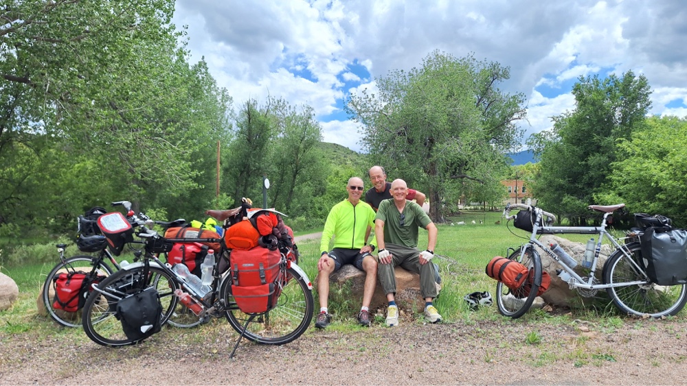
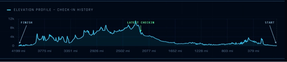
The ride from Whetmore to Cañon City was mostly downhill, which was nice! Tonight Bill and I are staying at a motel in Cañon City and tomorrow we will tackle the difficult approach to Hoosier Pass, which is the highest point on the TransAm route. This is from Bill’s website and shows where I am right now (and what is ahead!)
Comments
Post a Comment